Saturday, November 5, 2011

November 5, 2011 Saturday Ft George River to St. Augustine FL

Delinquent Sailboat in St Augustine
I am skipping back to the original posting settings to see if your comments can be received without you logging in to a site!  The problem here is that now you can't see the location.  Dilemma!  I think it's most important to see the exact location of Fiu on any given day.  Therefore, I will once again return to the new format with location and comments if you are willing to sign in.  Personally, I don't like to sign in places in general so don't feel obligated.  I'm just glad you are reading about our trip!

Bridge north of St Augustine Harbor

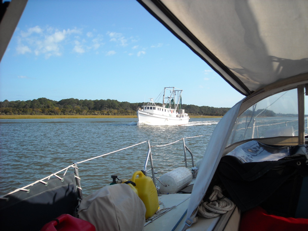
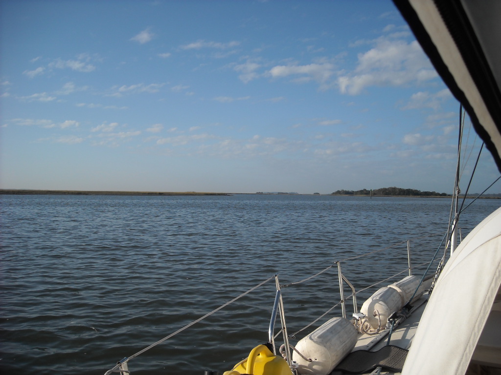
Today will not be forgotten!  We started out with clouds and cool winds.  The winds eventually changed to gusts and then changed still again to steady high winds with gusts!  In English this means by early afternoon the wind was a constant 20 knots and the gusts reached 31 knots.  Keep in mind a gale is 36 knots of wind!  We tried two recommended anchorages and both were bogus!  The water was much shallower than reported and we were at near high tide!  We traveled down the Matanzas River five miles south of St Augustine, FL to reach the second anchorage.  It was so shallow I nearly became hung up.  That's it!  I turned around and headed back to a marina in St Augustine I like from previous trips.  While this seems like a waste of time and fuel we were safe and had peace of mind that we wouldn't be up all night worrying about the shallows or anchor dragging in the high winds.  I treated the cost of the marina and Bonnie treated me to a seafood dinner and draft beer at "Happy Hour" at Hurricane Patty's!


There are few pics from today because we were so concerned about the high winds and their effect on the water and the safe handling of Fiu.  While sailing requires wind sometimes the wind is at extremes.  We are not equipped to handle this kind of wind and enjoy it.


Ft in St Augustine Harbor


Captain Sid


November 4, 2011 Friday Jeykll Island, Ga to Ft George River


I am returning to the original format for the posts to see if you can make a comment without signing in.

The weather has been cold in the mornings and cool when the sun doesn't shine. The wind has been above average in knots and the cold front seems to be hanging on!

Leaving Jekyll Island was a little frustrating since the St Andrews Sound was very rough with the wind opposing the tide which created waves to be concerned about coming in from the ocean! I turned at Red 2 instead of traveling a little further and turning at Red 32. I went about a mile and quickly came to my senses. When the channel has large numbers on the buoys like 32 and you see a number 1 or 2 then the 1 or 2 means a channel leading off the ICW. I thought to myself that I really need to check the Coast Guard's Notice to Mariners for buoy number changes. Then as I thought about it and returned to my large Map Tech chart it was very clear the mistake I made. Feeling a little embarased I quickly turned Fiu around and of course first Mate Bonnie (resting down below) shouted up to me, "Are we lost?" "No," I said, "It's just that I haven't turned to the left yet today!"

Some of the bodies of water and places we were at today included: Cumberland River, Little Cumberland Island, Amelia River, Amelia Island, Massau Sound, Black Hammock Island and eventually Ft George River anchorage between G3and G5. We had great anchor holding despite the constant 15- 25 knot winds that blew all night!

Once again for the third time passing this area we saw many dolphins at Gunnison Cut.

Captain Sid

Thursday, November 3, 2011

November 3, 2011 Thursday Wahoo River to Jekyll Island, GA

North End Jekyll Island
I love it when things like anchoring go well the first time!  We have been getting good, so to speak, about setting the anchor right the first try.  Current, wind and cloudy judgment all have an effect on anchoring safely.  Seriously, it feels like we are working better as a team.

We covered a lot of ground (water) today and wound up in an anchorage near Jekyll Island.  The island is basically a park.  Some of its history includes the formation of the Federal Reserve by a few of the wealthy families I believe back in the 1930's.

Shrimper Going Home for the day
The pics today are of our approach to Jekyll Island.  We stopped for the diesel we were unable to get at Isle of Hope Marina and a tee shirt for the First Mate.  Then we headed down the ICW for a quarter mile to an anchorage near the water slide park on the island.

Some of the bodies of water we passed through today include:  Sapelo River, Front River, Crescent River, Old Tea Kettle Creek, Doboy Sound, North River, Little Mud River, Rockdedundy River, Altamaha Sound, Fredricka River, St. Simons Sound, and Jekyll Creek.  Yes, they are all spelled correctly!

Water Taxis
We hope to be in Florida in two days.  I would very much like a beach day!


Ferry Boat Dock


Captain Sid

November 2, 2011 Wednesday Thunderbolt to Wahoo River Anchorage

It is always exciting to see the dolphins so close!  Just before leaving the dock at Bahia Bleu there were two sets of dolphins next to the boat!  We have seen bald eagles, alligators, dolphins, cormorants, pelicans, and sea gulls.I have no pics of the dolphins since it takes a full second for a digital camera to focus and shoot.  Dolphins asre out of the water only a half second!

On the way to our Wahoo River anchorage we passed through the following rivers, creeks and sounds:
Wilmington River, Skidaway River, Burnpot Island, Isle of Hope,Pigeon Island,Moon River, Burnside River, Vernon River, Hell Gate, Ogeechee River, Bear River, St. Catherine's Sound,Johnson Creek and Wahoo River.I think of rivers like back home.  You know, they run for miles.  Down here the river might only connect two other rivers and be a mere two miles in length!  It would be interesting to find out how they got their names.
We stopped at the Isle of Hope Marina to get diesel a pump out.  That worked fine but their diesel pump had an electrical problem and they couldn't figure out how to get it to authorize and then pressurize!  They were so concerned about our wait and not being able to deliver diesel they gave us the pump out for free!  Both dock-hands Andrew and Jeremy were perfect gentlemen.

Today was a 48 mile day!  It's nice not to be rushed and be on the water during all of the daylight hours!  We are anxious to get to Melbourne, FL but we are having fun visiting relatives and friends along the way.


Captain Sid

October 31, 2011 Monday Brickyard Creek to Savannah, GA

Nordic Tug from Holland
Bonnie and Dawn
We were in a small parade of ships heading south on the ICW.  We followed a small catamaran and a 38- 40' Catalina.  We were in some chop but for most of the day we were able to sail and motor!  We just made the last opening the of Causon Bluff Bridge in Thunderbolt, GA just outside Savannah.  It closes from 4:30-6:00pm daily to accommodate rush hour traffic.

Dinner at Tubby's, Thunderbolt, GA
Dawn our niece lives just three blocks from the Bahia Bleu Marina where we were planning to stay for two nights.  We made plans to have dinner tomorrow.

We rode our bikes to get groceries and the Krispy Creme doughnut store was nearby.  The apple cinnamon
tasted as good as it looked.  Our bike ride to the "Piggly Wiggly" for groceries was a test of our ability to negotiate the busy roads in the area!  The exercise was welcome and I look forward to being in one spot for a length of time in order to ride on a  daily basis.

Exercise at last!
We managed to get the laundry done and it's always socially acceptable especially in a confined space like the boat to wear fresh clothes!

Dinner with Dawn was a good time to catch up on her latest accomplishments.  We had fun reminiscing about Shannon's wedding and reception!

The Marabele V is at the next marina down from us.  It is over 200 feet long and is supposed to have a mast over 300 feet tall!  The mast is so tall it has a red beacon on top to warn low flying planes!  No joke.  I am going to google it and get more info.  It was built for the founder of AVIS car rental.


The weather has been warm and I'm happy to be out of the cold!

Captain Sid

Wednesday, November 2, 2011

October 30, 2011 Sunday Charleston to Beaufort, SC

The Brickyard Creek was an interesting anchorage.  The current was about two knots and that's pretty strong when you consider Fiu weighs about 20,000 pounds and the anchor is 45 pounds with 5/16". chain links as anchor line.  The bottom was soft enough to have the anchor buried deep so that there was no anchor dragging!  I never sleep well in anchorages like this but on the other hand we haven't had anchor issues of any consequence. 

Anchor chain marked every 10' with orange paint

We needed to weigh anchor and it was near low tide with a strong current still present.  The channel was as fraction of the width it was when we anchored the night before!  First mate Bonnie managed to steer Fiu away from the shallows to mid channel.  The windlass is still working fine and in these situations it's important the anchor comes up quickly!

Captain Sid

October 29, 2011 Saturday Charleston, SC


Nav Station

Radar, VHF radio,chartplotter, depth,speed and wind speed gauges, battery monitor asre some of the electronics you see here.  All are used daily!

The pic below is of the service panel next to the nav station.  On the left is is shore power or the Honda generator power monitor showing 120 volts being supplied to the service panel.  The middle panel are the switches for the lights, bilge pump and macerator.  The right panel are all the electronics used to run Fiu like GPS.


Service panel
Elliot Cut joins the Stono River where our marina, St Johns Yacht Harbor is located, with the Wapoo Creek.  Once you leave Charleston harbor you exit under a 65' fixed bridge and enter the Wapoo Creek which has a bascule bridge to pass through before reaching Elliot Cut.  The difference in elevation and the abnormally high and low tides were  the cause of potential disaster!  Elliot Cut had such a current it was nearly impossible to pass through this quarter mile channel.  If ever I have this to do again I will anchor in Charleston harbor and wait for high tide.  I will explain this story when I see you!
Sunrise in Beaufort, SC

This pic is sunrise leaving the Brickyard Creek just north of Beaufort, SC.
GPS by Garmin
Karen was most helpful and we were able to get propane, groceries, my monthly blood work and have a dinner out at The Grille near her home.  Fresh seafood has been on my list of dinners since we left home!  James Island where she lives is a busy place on the highways but quiet neighborhoods are everywhere.
Mega yacht passing with huge wakes


Captain Sid